Google Maps new feature to speed up road safety

Google Maps could be about to make your car journeys safer thanks to a new navigation feature.
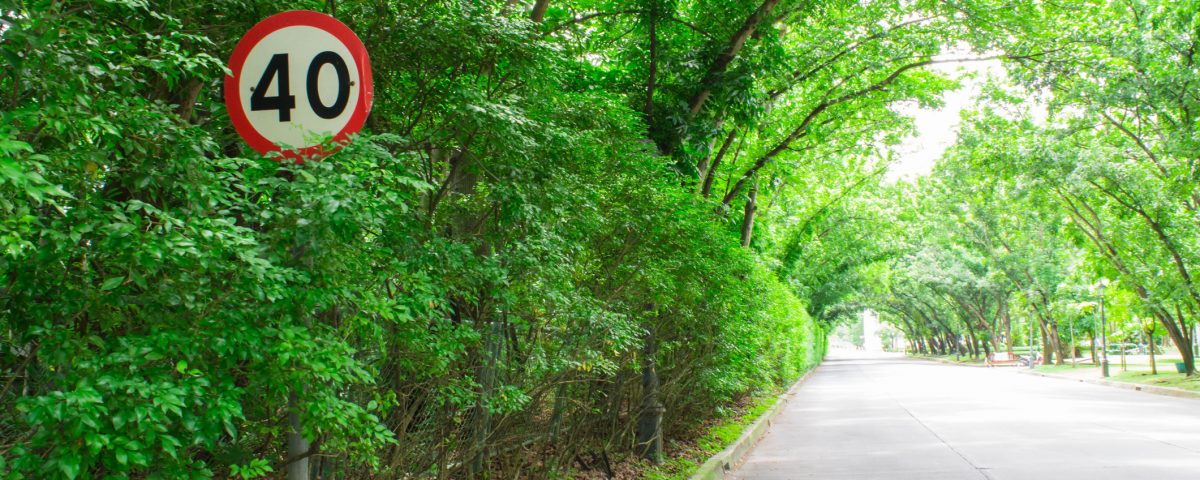
The app is now displaying local speed limits as part of its GPS journey guide, with a road sign appearing in the bottom corner of Android devices using the Google Maps navigation mode.
How it works
The display changes depending on the current route of your journey, and refreshes to show urban roads, country byways and motorways, so you’ll always know at what speed you should be driving.
The upgrade is gradually being rolled out by Google, as not everyone is seeing the speed signs appear on their screens just yet.
It is possible the move is part of plans to integrate Google Maps with Waze, the internet giant’s other mapping service.
Another addition to Maps is a tweaked “arrival screen” – the summary page you’re presented with when you reach a destination.
The newest version of the beta Maps app shows follow-up information it thinks you might find useful, such as reviews for attractions nearby, the total time you spent driving to your destination, the mileage you’ve covered, your average speed and whether or not you arrived on time.
You can also choose a “walk the rest of the way” button, which will show you how long it’ll take you to reach your final destination.
Users are no longer lost in translation
Earlier this month, Google also introduced an upgrade which translates information about local businesses and facilities around you into your language – good if you plan to be heading out on any foreign road trips.
The update, which has launched in Japan ahead of a worldwide release later this year, means firms can now list themselves as one of over 1,000 categories in 19 languages.
This is all linked back to Google Maps to make it easier for you to find your way around.


